Solutions
Intelligent ADA Compliance & Asset Management Made Simple
Solutions for Civil Engineers
Add sidewalk accessibility and topology characteristic mapping to the services your firm provides. Leverage our expertise and technology to collect and prioritize pedestrian pathway data. Add new layers to your research and reports. Plan, design, and manage more cost-effective sidewalk infrastructure projects—engineering-grade accuracy. Win more projects with pathVu.
Objective, high resolution data collection
Collect sidewalk roughness, level change, running slope, cross slope, width, and numerous configurable attributes
See real-time sidewalk infrastructure conditions and changes
Expand your services and identify new opportunities for design work

City Departments and Planners Seek High-Fidelity Sidewalk Data
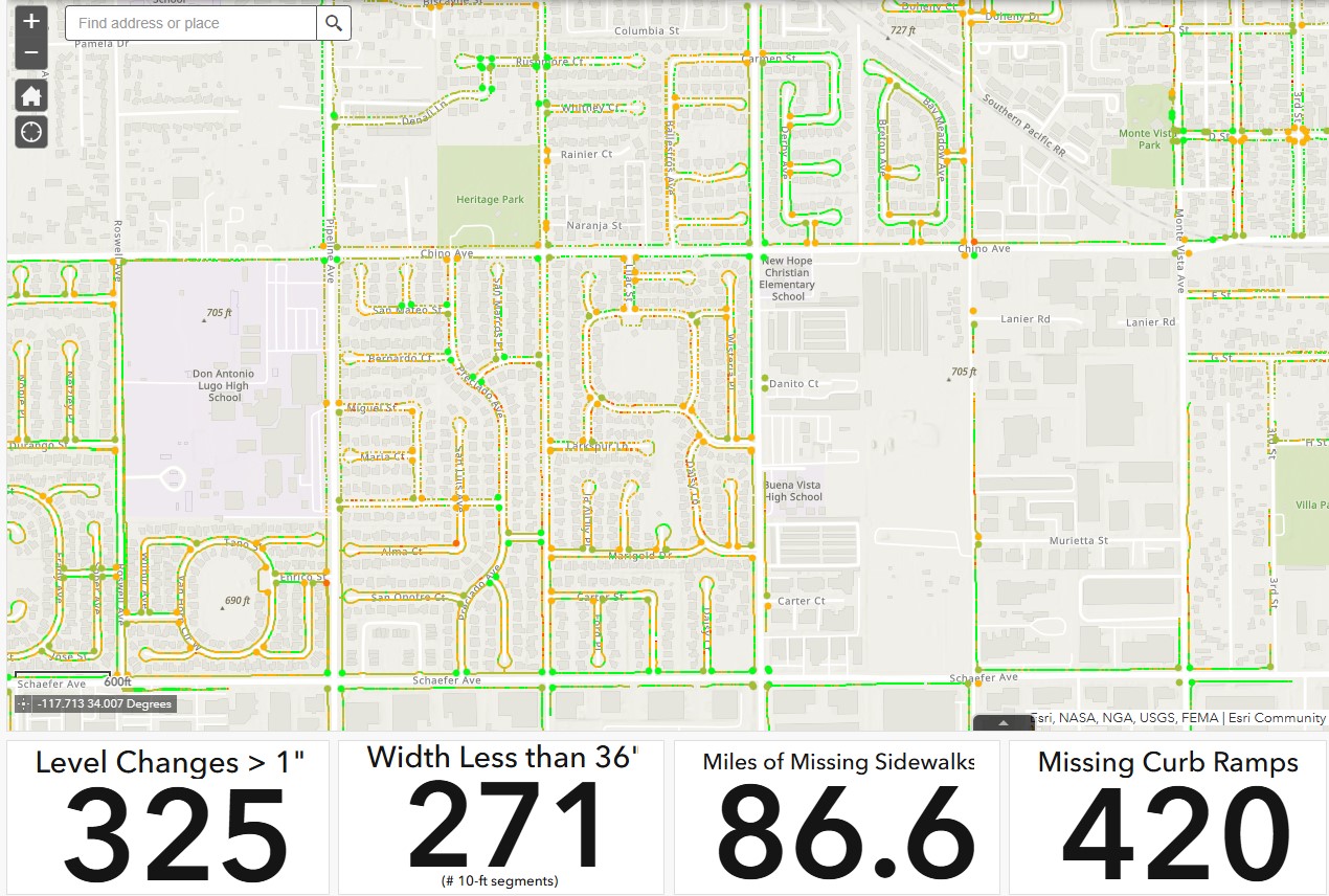
Plan safer, more accessible, walkable communities that support every pedestrian in less time. We help cities prioritize critical sidewalk projects with real-time insights that lead to more cost-effective improvements in future planning, ADA compliance, and overall livability within a municipality. pathVu’s experience and proactive approach helps cities budget for needed improvements while mitigating risk.
Manage data on a customized dashboard
Visualize, analyze, and prioritize sidewalk improvements
Plan more effectively as areas grow to better help manage economic and social issues
Comply with upcoming public rights-of-way accessibility guidelines
“Putting Sidewalks on the Map”
Pedestrians, join our pilot project and help predict sidewalk conditions.
curbMet’s Novel Approach to Collecting Curb Ramp GIS Data
Before curbMet, curb ramp assessments typically took a long time to complete, required two people, were physically challenging, and expensive. Now, our partners– engineering firms, accomplish the task 4-6 times faster and cheaper (while putting away the tape measures) than manually while giving them engineering-grade accuracy, configurable app-based integration, and geo-located / GIS data. Its output is the best in the business.
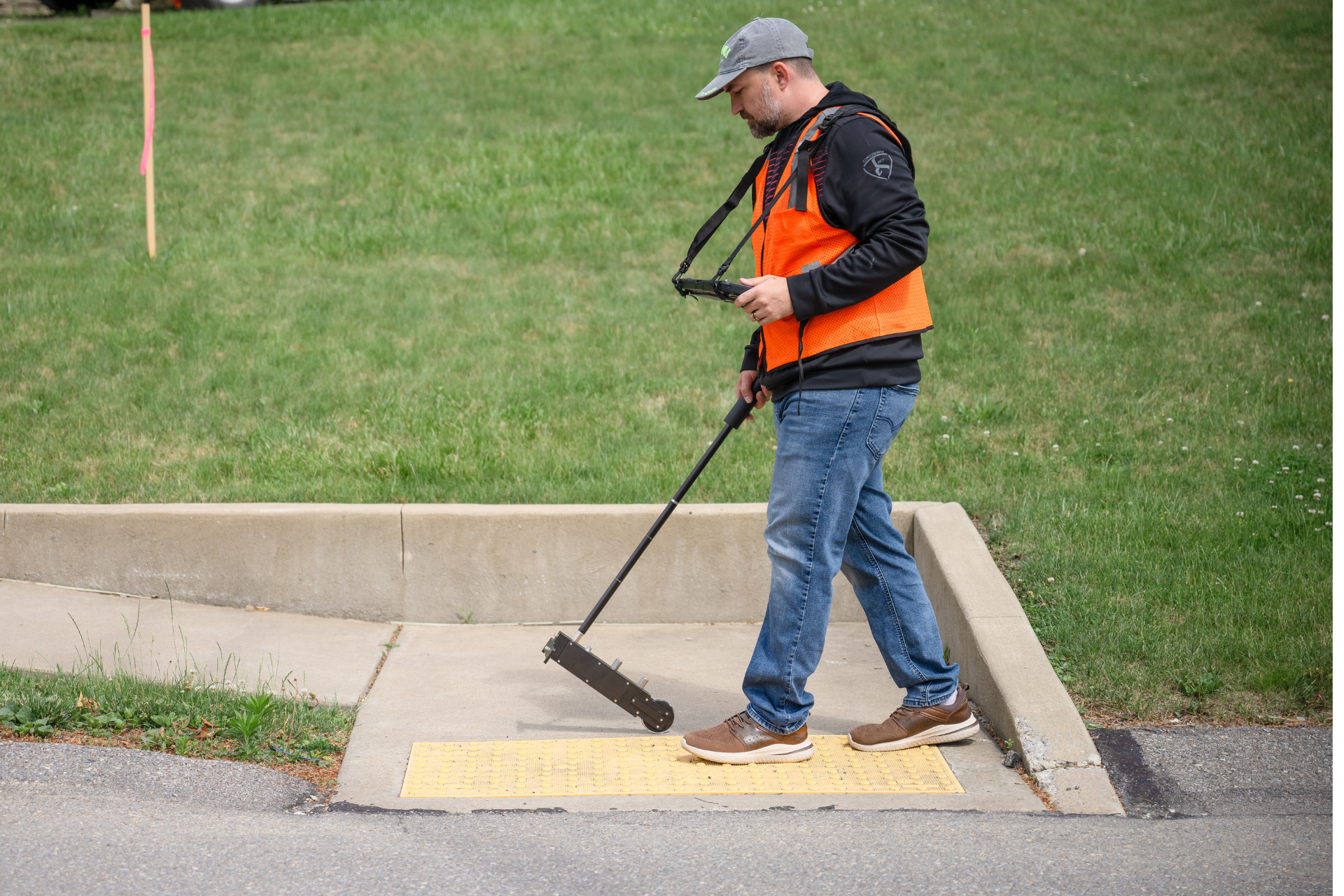
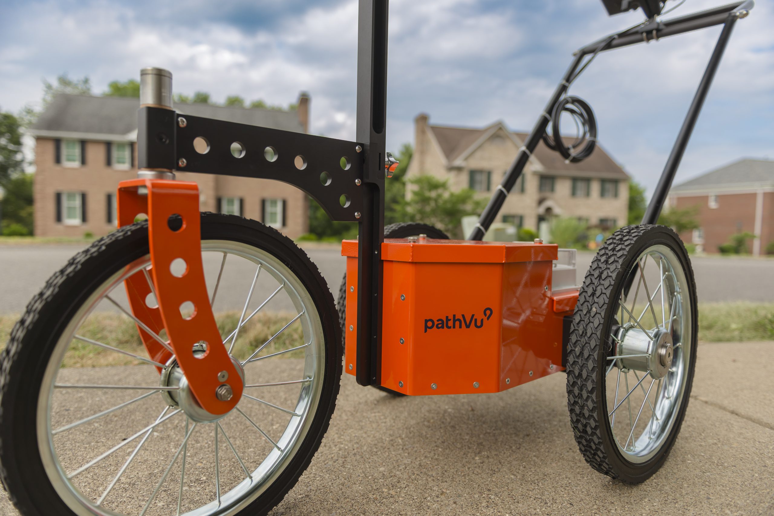
pathMet was used to develop the ASTM E3028 standard and the route accessibility index to help prioritize improvements. Our engineering-grade technology characterizes the quality of sidewalks, identifies accessibility concerns, and creates GIS maps of the resulting data.
Mobility Planners Better Manage Pedestrian Pathways with pathMet
Data and images captured from pathMet provide cities with objective planning insights that are laser-accurate and relevant to their goal of ADA compliance—and critical to a safer, more navigable place to live. pathMet is a multi-sensor profiling tool that utilizes lasers, high-resolution cameras, and GIS-integrated. Mobility and infrastructure planners benefit from collaborating with pathVu to help define a vision for the future of their cities’ mobility systems and infrastructure investments.
Accessibility index to help planners prioritize improvements
Critical for ADA transition planning
Innovative city applications & integrations
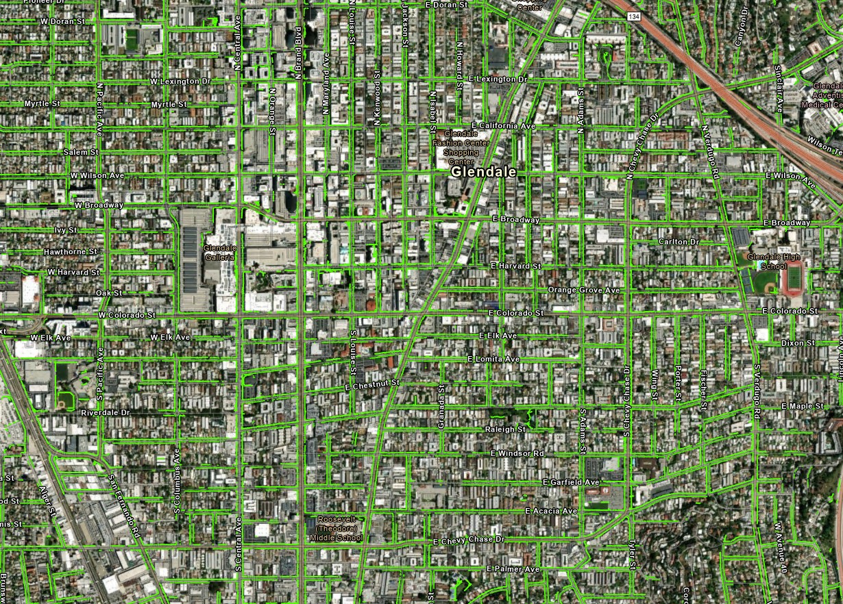
Need a GIS Map of Your City’s Sidewalks?
Email / Call pathVu Today
info@pathVu.com
412-564-4150
