pathVu Navigation App
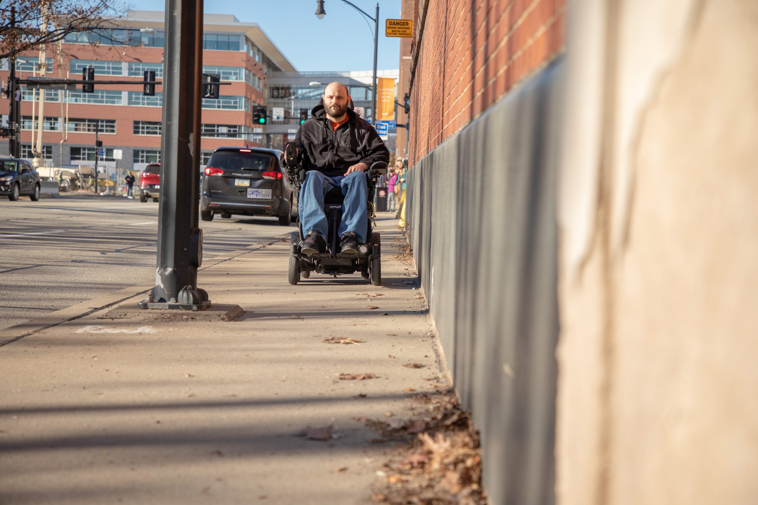
Safer Sidewalk Navigation is Just Around the Corner
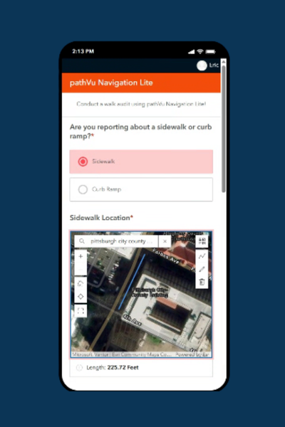
pathVu Navigation Lite
Ideal for walk audits and to assess pedestrian infrastructure in your city!
“Communities and non-profits conducting walk audits now have a streamlined, efficient way to collect the real data they need to prioritize improvements, secure funding, and create safer, more accessible environments for everyone.”
— Eric Sinagra, Co-Founder, pathVu

- Comprehensive Customer Dashboard: Intuitive interface that provides at-a-glance insights into sidewalk networks, including availability, current conditions, and identified obstacles
- Real-Time Data Collection: Capture and document sidewalk conditions, curb ramp compliance, and accessibility barriers during walk audits
- Enhanced Mobility Planning: Identify critical gaps in pedestrian networks to improve accessibility and walkability for all community members
Coming Soon: pathVu Pedestrian App
Real-time accessible pedestrian navigation
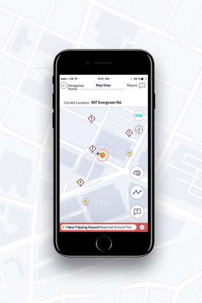
Our pedestrian navigation app uses real-time data-driven maps to route pedestrians around sidewalk hazards and alert them to obstructions based on their unique comfortability levels.
Safe Intersections Crossing
When is it safe to cross an intersection? Real-time audio will help pedestrians with turn-by-turn directions and avoid sidewalk hazards.
Crowdsourcing Sidewalk Obstacles
App users will be routed around sidewalk hazards and alerted to obstructions in their path based on their unique comfort levels, enabling them to travel safely and independently.
Mark Your Favorite Locations
Whether traversing your neighborhood or pre-trip planning before traveling, users can get step-by-step directions, similar to Google Maps.

“Putting Sidewalks on the Map”
Pedestrians, join our pilot project and help predict sidewalk conditions.
Sign Up Today!

The Pedestrian App will be developed to include:
Speech to text
Users will submit reports about the type, quality, location, and image of hazards.
VoiceOver and TalkBack Enabled
With accessibility in mind, the app will read all text back to users, including those without alt text labels.
Audible Real-time Navigation
Users will hear about the path ahead with real-time step-by-step directions read aloud.
pathVu’s tools gathered significantly more data than anticipated while being completed promptly, without issues, and within the budget. Although this was SBCTA’s first time working with pathVu, we welcome the opportunity to work with pathVu on future projects, whether as part of a similar assessment project or to explore accessible pedestrian navigation through the use of this data in their new mobile app.
